Strategy One
Geographical Role for Attributes and Latitude/Longitude Data Population
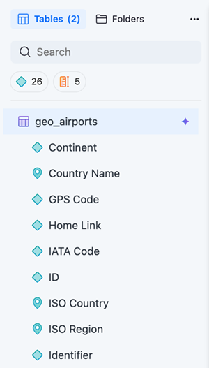
When importing data in Mosaic model, some columns such as Country and City are can be defined as a Geographical role. This role can infer the latitude and longitude data in the dashboard and help you create map visualizations. Geographical roles can be automatically detected or manually defined.
Auto-detect Geographical Role
Mosaic model automatically detects geographical data and assigns it a Geographical role. Data assigned a Geographical Role displays a GEO icon.
Manually Define a Geographical Role
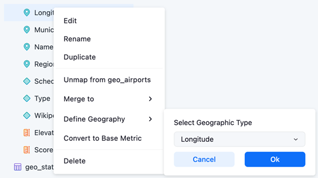
Single-form Attribute
-
In Objects, right-click an attribute and choose Define Geography.
-
Expand the Select Geographic Type drop-down list and choose an option.
To unset an existing Geographical role for an attribute, choose None.
-
Click Ok.
The following Geographical roles are supported. Each role has a data type validation:
| Geographical Role | Data Type |
|---|---|
| Zip code |
String and Integer |
| Area code | Integer |
| City | String |
| Location | String (format should be State, City) |
| County | String |
|
State |
String |
| Country | String |
|
Latitude |
Number |
| Longitude | Number |
|
Geometry |
String |
Multi-form Attribute
If the target attribute contains multiple forms, you should set the Geographic role in the attribute form.
Each multi-form attribute's Geographical role should be set to one of the forms except for latitude and longitude.
Both Latitude and Longitude forms must be set in a multi-form attribute. For example, you can not set a Latitude form and no Longitude form.