Strategy One
Integration with Google Maps
The Strategy architecture includes a generic mapping services layer that supports integrating the Strategy One platform with cloud-based Google Maps. When you install Strategy One, you have the option to Install GIS Connectors, which places the GIS Connector for Google Maps in the Strategy installation directory. To integrate Strategy with Google Maps, you copy the connector, which is a plug-in, to the Strategy Web installation directory and configure it. If you do not install the connector during the initial installation of Strategy One, you can install it later by repairing the installation and choosing to Install GIS Connectors.
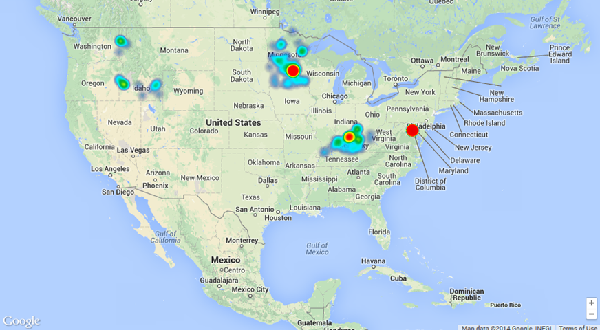
You can use the Google Map visualization to explore and analyze data in Strategy Web and on mobile devices. The following sections provide detailed explanations and steps to configure and use the Google Map visualization to analyze Strategy data in a dashboard or document.
-
Provides steps to install the GIS Connector (plug-in) for Google Maps, get a Google Maps license, configure the plug-in, and optionally, make this the only mapping option by removing the out-of-the-box ESRI Map visualization.
-
Lists the data requirements and optional design considerations for the Google Map visualization.
Refer to Troubleshooting a Google Maps visualization for tips on how to deal with common problems.